Unlocking Africa’s Coastline: A Deep Dive into the African Coastline Shapefile
The African Coastline Shapefile offers a powerful tool for understanding and analyzing the diverse geography of Africa’s coastal regions. From research to conservation, this digital resource provides valuable data for a multitude of applications. This article explores the importance, uses, and accessibility of the African coastline shapefile.
Understanding the African Coastline Shapefile
The African coastline shapefile is a geospatial data file that represents the outline of Africa’s coastline. It’s essentially a digital map that can be used in Geographic Information Systems (GIS) software. This data is crucial for various fields, including environmental management, maritime planning, and research projects focused on coastal dynamics. The shapefile allows users to visualize, analyze, and manipulate the coastline data for specific purposes.
What Makes the African Coastline Shapefile so Useful?
The utility of the African coastline shapefile lies in its versatility and accuracy. It provides a detailed representation of the continent’s complex coastal geography, allowing for precise measurements and analysis. This is essential for understanding coastal erosion, managing marine resources, and planning infrastructure development.
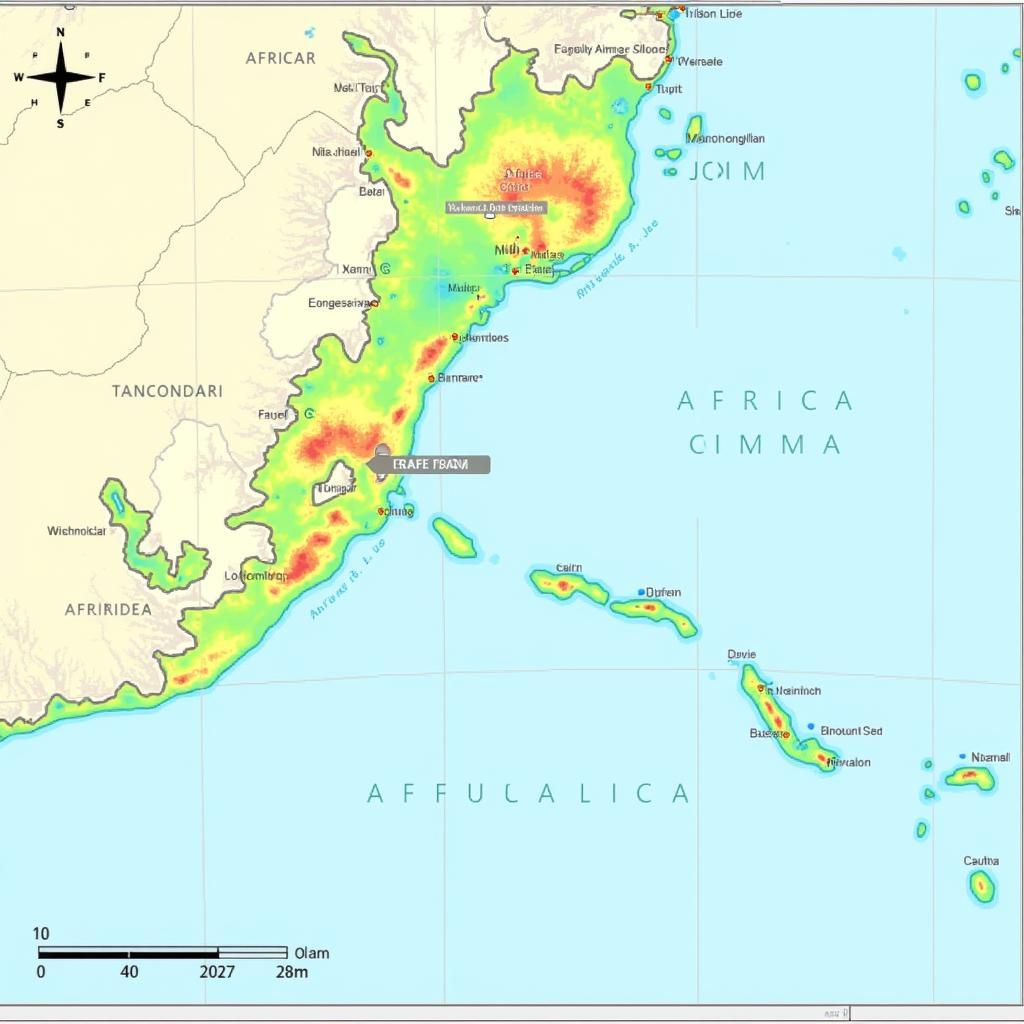
 African Coastline Shapefile Mapping in GIS Software
Applications of the African Coastline Shapefile
The applications of the African coastline shapefile are vast and diverse. Researchers use it to study the impacts of climate change on coastal erosion and sea-level rise. Conservationists utilize the data to monitor sensitive coastal ecosystems and plan protected areas. Government agencies rely on it for maritime boundary delineation and infrastructure planning. Even businesses involved in shipping and logistics utilize the shapefile for route optimization and port management.
Coastal Erosion and Climate Change Studies
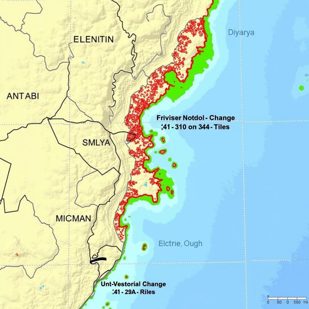
The shapefile allows researchers to track changes in the coastline over time, providing valuable insights into the effects of climate change. By comparing historical coastline data with current data, scientists can identify areas experiencing significant erosion or accretion.
 Analyzing Coastal Erosion Patterns Using the Shapefile
Marine Conservation and Protected Area Planning
Conservationists utilize the shapefile to delineate the boundaries of marine protected areas and monitor the health of coastal ecosystems. The shapefile can be integrated with other data layers, such as species distribution and habitat maps, to inform conservation strategies.
Maritime Boundary Delineation and Infrastructure Planning
Governments use the African coastline shapefile to define maritime boundaries and manage territorial waters. The shapefile also plays a critical role in planning coastal infrastructure projects, such as ports, harbors, and coastal defenses.
Accessing the African Coastline Shapefile
Several online repositories and organizations provide access to the African coastline shapefile. These include government agencies, research institutions, and international organizations focused on geospatial data. The quality and resolution of the data may vary depending on the source, so it’s essential to choose a reputable provider.
Finding Reputable Sources for the Shapefile
Finding a reliable source is crucial for ensuring data accuracy and integrity. Look for established organizations with a track record of providing high-quality geospatial data. Consider factors like data resolution, accuracy, and metadata availability when choosing a source.
 Accessing African Coastline Data from an Online Repository
Conclusion
The African coastline shapefile is an invaluable resource for understanding and managing Africa’s diverse coastal regions. From scientific research to practical applications in conservation and planning, this geospatial data plays a crucial role. By understanding its uses and accessibility, we can harness the power of the African coastline shapefile to address critical challenges and opportunities along Africa’s coasts.
FAQ
-
What is a shapefile?
A shapefile is a geospatial vector data format for geographic information system (GIS) software. -
Where can I download the African coastline shapefile?
Several online repositories, including government agencies and research institutions, offer the shapefile. -
What software can I use to view and analyze the shapefile?
GIS software such as ArcGIS, QGIS, and others are commonly used. -
How accurate is the African coastline shapefile?
Accuracy varies depending on the source, so choose a reputable provider. -
What are some common uses of the shapefile?
Common uses include coastal erosion studies, marine conservation, and infrastructure planning. -
Can I use the shapefile for commercial purposes?
Usage rights vary depending on the source; check the licensing agreement.
If you need any further assistance, please contact us at Phone: +255768904061, Email: [email protected] or visit us at Mbarali DC Mawindi, Kangaga, Tanzania. We have a 24/7 customer support team.


