Exploring the African Association of Remote Sensing of the Environment (AARSE)
The African Association Of Remote Sensing Of The Environment (AARSE) plays a crucial role in fostering the development and application of remote sensing technology across the African continent. This organization connects professionals, researchers, and policymakers, creating a collaborative network dedicated to addressing Africa’s unique environmental challenges.
Understanding the Significance of AARSE
AARSE serves as a vital platform for sharing knowledge, best practices, and innovative solutions in remote sensing and related geospatial technologies. The association facilitates capacity building, promotes research collaborations, and advocates for the effective use of Earth observation data to inform decision-making related to sustainable development. This work contributes to a deeper understanding of Africa’s complex environmental dynamics.
How AARSE Supports Environmental Management in Africa
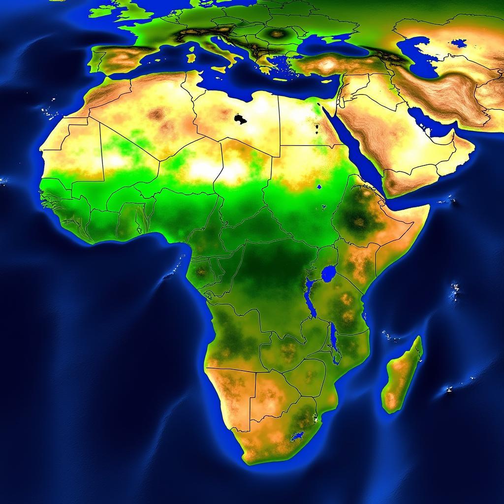
AARSE plays a pivotal role in addressing critical environmental concerns facing Africa, including climate change, deforestation, desertification, and disaster management. By promoting the use of remote sensing, AARSE empowers African nations to monitor environmental changes, assess risks, and implement effective mitigation and adaptation strategies.
 AARSE Environmental Monitoring in Africa
AARSE: Connecting Expertise Across the Continent
One of AARSE’s core strengths lies in its diverse network of members, representing various sectors, including government agencies, academic institutions, research organizations, and private companies. This collaborative environment fosters knowledge exchange and promotes interdisciplinary approaches to environmental problem-solving.
Capacity Building Initiatives by AARSE
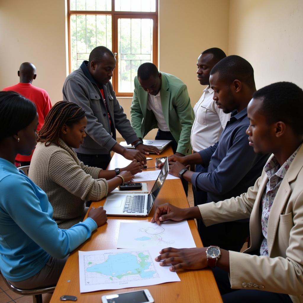
AARSE is committed to strengthening capacity in remote sensing and geospatial technologies within Africa. The association organizes training workshops, conferences, and educational programs that equip African professionals with the necessary skills and knowledge to effectively utilize these technologies for environmental management and sustainable development.
 AARSE Capacity Building Workshop
The Future of Remote Sensing in Africa with AARSE
AARSE continues to evolve and adapt to the changing needs of the African continent. The association is actively exploring emerging technologies and innovative applications of remote sensing to address complex environmental challenges and promote sustainable development.
Embracing Technological Advancements
AARSE recognizes the importance of integrating cutting-edge technologies, such as artificial intelligence and machine learning, into remote sensing applications. These advancements have the potential to significantly enhance the accuracy, efficiency, and effectiveness of environmental monitoring and analysis.
“AARSE is dedicated to fostering innovation in remote sensing and ensuring that African nations have access to the latest technologies and tools for environmental management,” states Dr. Aboubakar Mahamat, a fictional expert in remote sensing and GIS at the University of Nairobi.
Conclusion: AARSE’s Vital Role in a Sustainable Future
The African Association of Remote Sensing of the Environment (AARSE) stands as a pivotal force in promoting the application of remote sensing for sustainable development across Africa. By connecting experts, fostering capacity building, and embracing technological advancements, AARSE empowers African nations to effectively manage their environment and build a more sustainable future.
FAQ
-
What is AARSE? AARSE is the African Association of Remote Sensing of the Environment.
-
What does AARSE do? AARSE promotes the use of remote sensing for environmental management and sustainable development in Africa.
-
Who are the members of AARSE? AARSE members include government agencies, researchers, academics, and private companies.
-
How does AARSE support capacity building? AARSE organizes training workshops, conferences, and educational programs.
-
What is the future of AARSE? AARSE continues to embrace technological advancements and promote innovative applications of remote sensing.
-
How can remote sensing help with climate change? Remote sensing can monitor deforestation, a key contributor to climate change.
-
What are some examples of remote sensing applications in Africa? Examples include monitoring deforestation, desertification, and disaster management.
Common Scenarios and Questions
-
Scenario: A government agency needs to assess the impact of drought on agricultural production. Question: How can AARSE and remote sensing technologies assist in this assessment?
-
Scenario: A research institution wants to study the effects of urbanization on biodiversity. Question: What resources and expertise can AARSE offer to support this research?
Further Exploration
- Explore other articles on our website related to geospatial technologies and environmental management in Africa.
- Learn more about specific remote sensing applications and case studies.
When you need assistance, please contact us: Phone: +255768904061, Email: kaka.mag@gmail.com Or visit us at: Mbarali DC Mawindi, Kangaga, Tanzania. We have a 24/7 customer service team.


