The African Continent’s Borders: A Look at the Atlas
The African continent is a diverse and vibrant place, with a rich history, culture, and geography. Understanding its borders is crucial for appreciating its complexities and appreciating its unique identity. This article explores the borders of the African continent as depicted in the atlas, unraveling the fascinating story behind its diverse landscapes and rich cultural tapestry.
The African Continent’s Shifting Borders
The African continent’s borders have evolved significantly over time, reflecting historical events, colonial influences, and geopolitical shifts. Initially, the boundaries were primarily defined by natural features like rivers, mountains, and deserts. However, the colonial era brought about a redrawing of these borders, often ignoring pre-existing ethnic and cultural divisions. This imposed cartography, which remains largely intact today, has resulted in complex geopolitical situations, internal conflicts, and ongoing efforts towards redefining borders to reflect the continent’s diverse identity.
The Evolution of Borders
Pre-Colonial Boundaries
Before the arrival of European powers, African communities had their own well-established boundaries. These borders were often fluid and dynamic, reflecting traditional land ownership, tribal territories, and trade networks.
Colonial Era
The European Scramble for Africa in the 19th century led to the imposition of artificial borders, dividing territories based on colonial interests rather than existing ethnic and cultural realities. This division resulted in significant changes to the political landscape of Africa, often leading to conflict and instability.
Post-Independence
After gaining independence, many African countries have strived to maintain the borders established during the colonial era. However, there have been ongoing efforts to redefine certain borders to reflect pre-existing cultural identities and address ethnic conflicts.
Understanding the Atlas: A Visual Representation of Borders
The atlas provides a visual representation of the African continent’s boundaries, offering a valuable tool for understanding its political geography. It highlights the intricate network of countries, their territories, and their relationships with each other. The atlas helps us understand the complexities of the African continent’s political landscape, its cultural mosaic, and the ongoing efforts to define a new future.
Exploring the African Continent’s Diverse Borders
The African continent is home to a vast array of landscapes, from the lush rainforests of Central Africa to the vast deserts of the Sahara and Kalahari. Each border is a reflection of this diverse geography, shaping the continent’s ecosystems, cultures, and economies.
The Sahara Desert
The Sahara Desert, the world’s largest hot desert, marks a significant natural border, separating North Africa from the rest of the continent. It acts as a barrier to movement and cultural exchange, contributing to the distinct identities of the regions north and south of it.
The Nile River
The Nile River, the longest river in the world, flows through eleven countries, creating a significant water source and serving as a natural boundary. It has played a crucial role in the development of civilizations and cultures along its banks, shaping the course of history and defining the regions it traverses.
The Great Rift Valley
The Great Rift Valley, a geological feature stretching for thousands of kilometers, is a prominent natural border, shaping the landscape and influencing the distribution of wildlife and vegetation. It has also played a significant role in the evolution of human species and the emergence of diverse cultures.
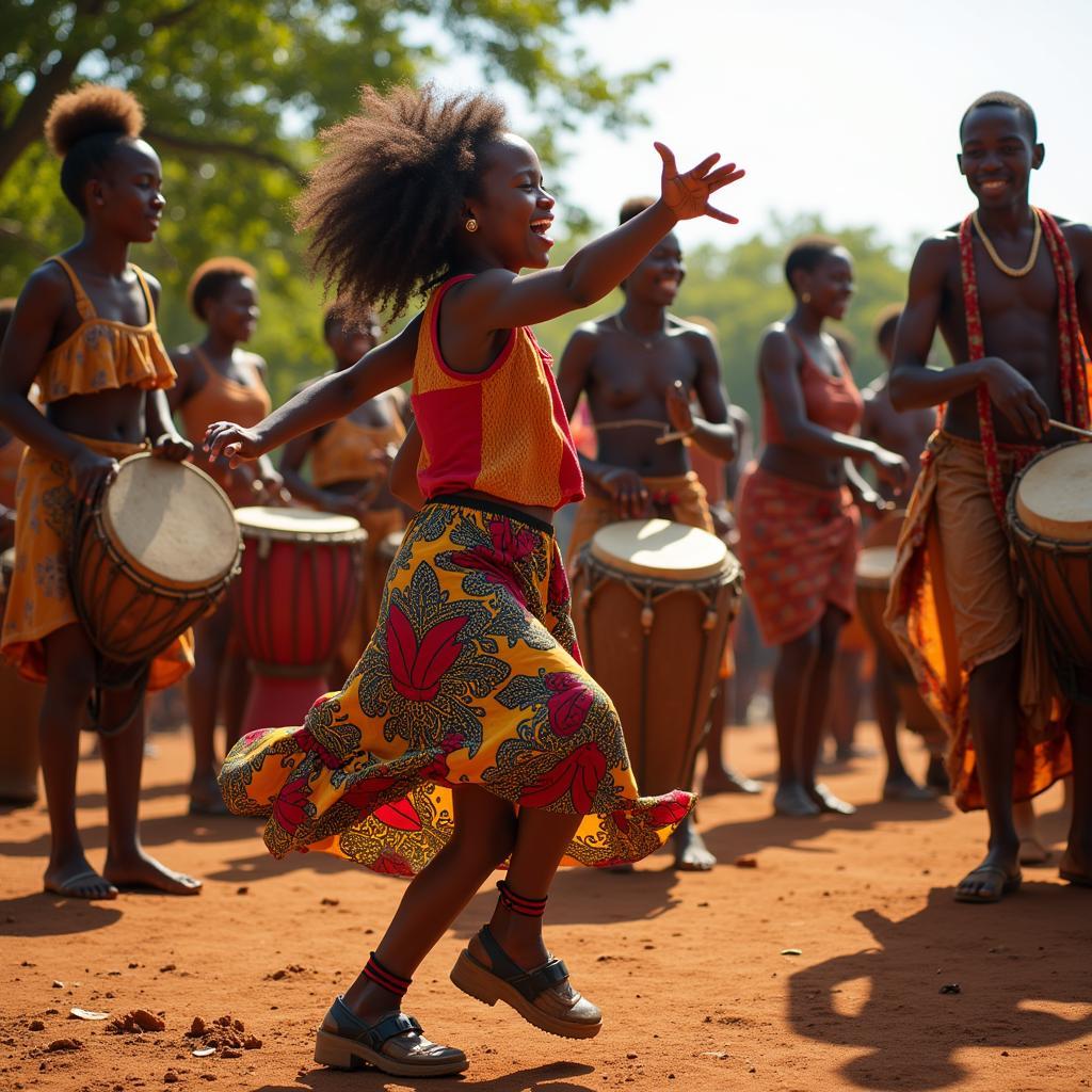
Beyond Borders: The Cultural Tapestry of Africa
Despite the emphasis on borders, the African continent is characterized by a rich and vibrant cultural tapestry. Its peoples, cultures, and traditions transcend borders, reflecting the continent’s interconnectedness and shared history.
Conclusion
The African continent’s borders tell a complex and fascinating story, reflecting historical influences, cultural connections, and ongoing efforts towards self-determination. The atlas, while providing a visual representation of these borders, should not overshadow the diverse and interconnected nature of the continent’s cultures, histories, and landscapes. Understanding the African continent’s boundaries is crucial for appreciating its complexities and acknowledging the richness and diversity of its peoples and cultures.