Exploring the African Continent Map in Black and White
A black and white African continent map, though devoid of vibrant colors, holds a certain allure. It’s a timeless representation of this diverse continent, sparking curiosity and inviting exploration. But beyond its aesthetic appeal, this monochromatic map serves as a powerful tool for understanding Africa’s geography, history, and cultural complexities.
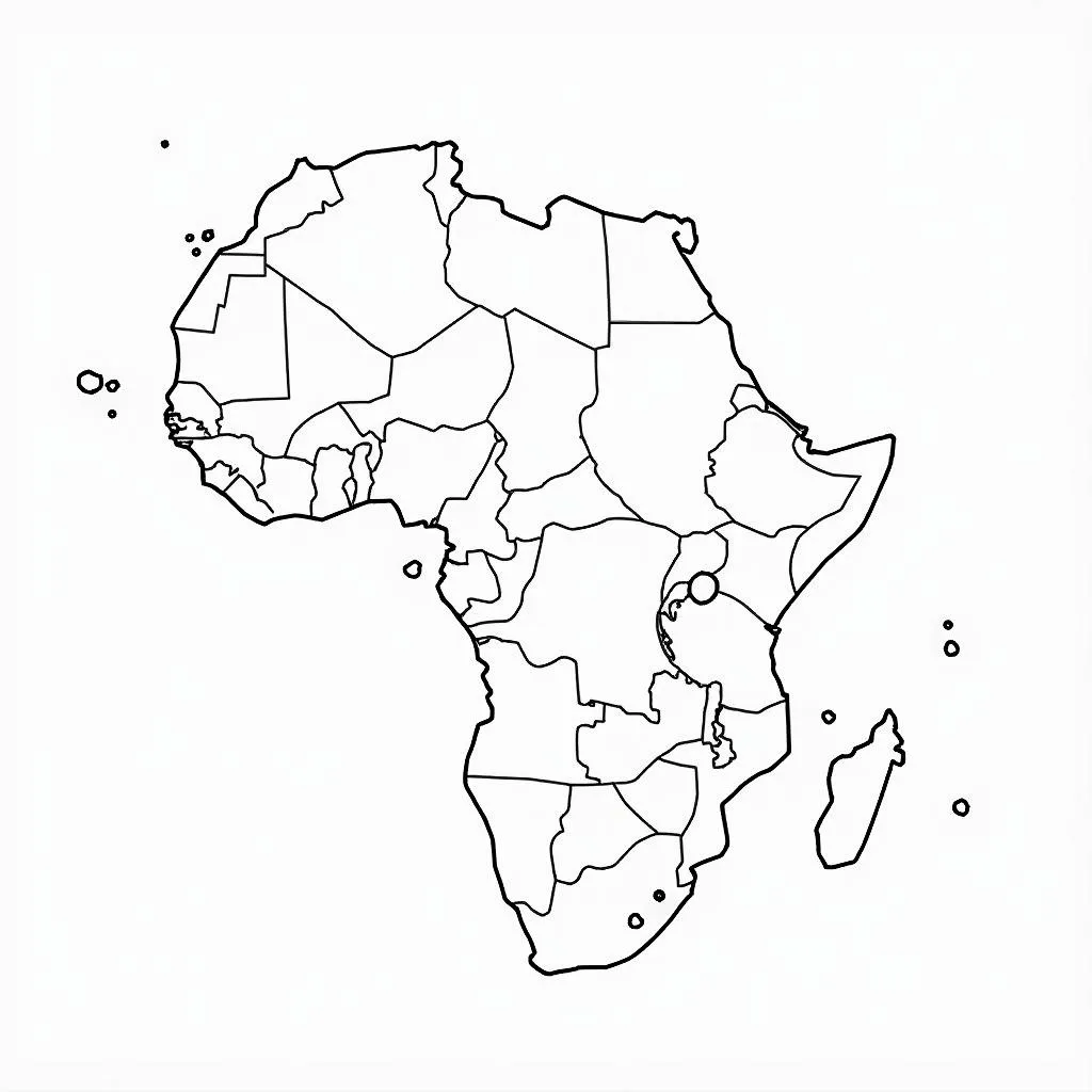
 Black and white African continent map with political boundaries.
Unveiling Geographical Insights
A black and white map allows us to focus on the fundamental geographical elements that shape the African continent. Without the distraction of color, we can clearly see:
- Vastness and Diversity: Africa, the second largest continent, encompasses a remarkable range of landscapes. From the Sahara Desert’s sweeping dunes to the Congo Basin’s lush rainforests, the map reveals the sheer scale and variety of Africa’s natural environments.
- Intricate Coastline: The map highlights Africa’s intricate coastline, marked by peninsulas, gulfs, and islands. This geographical feature has played a crucial role in shaping trade routes, cultural exchanges, and historical interactions with the rest of the world.
- River Systems: The Nile, Congo, Niger, and Zambezi rivers, among others, snake across the map, showcasing their significance as lifelines for communities and ecosystems.
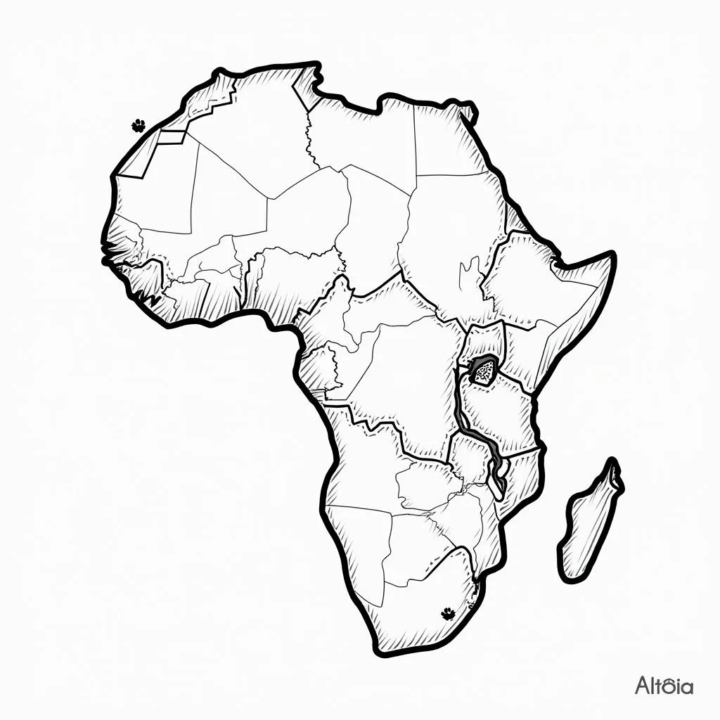
 Black and white African continent map with major rivers and lakes.
Tracing Historical Footprints
Black and white maps often evoke a sense of history, and the African continent map is no exception. By examining the map, we can trace the footprints of colonialism, independence movements, and the evolving political landscape:
- Colonial Boundaries: The straight lines that often define national borders on the map are a stark reminder of Africa’s colonial past. These artificial divisions, drawn without regard for existing ethnic or cultural boundaries, continue to have a profound impact on the continent today.
- Independent Nations: The map allows us to visualize the rise of independent African nations in the 20th century. Each country name represents a hard-fought struggle for self-determination and a unique journey towards shaping its own destiny.
Appreciating Cultural Richness
While a black and white map may not showcase the vibrant colors of African cultures, it encourages us to look beyond visual aesthetics and appreciate the continent’s rich tapestry of traditions, languages, and artistic expressions:
- Linguistic Diversity: Africa is a continent of linguistic diversity, with thousands of languages spoken across its regions. The map serves as a reminder of this rich heritage and the importance of preserving these languages for future generations.
- Artistic Heritage: From the intricate sculptures of West Africa to the vibrant textiles of East Africa, the map inspires us to delve deeper into the diverse artistic traditions that have flourished across the continent for centuries.
![]() Black and white African continent map with cultural icons.
Black and white African continent map with cultural icons.
Conclusion
A black and white African continent map, far from being simplistic, offers a rich tapestry of information. It encourages us to explore the geographical wonders, delve into the historical complexities, and appreciate the cultural richness that defines this remarkable continent. As we trace our fingers across the map, from the northernmost tip to the southernmost point, we embark on a journey of discovery, recognizing that Africa is not a monolith, but a continent of extraordinary diversity and endless fascination.


