Exploring African Countries and Regions Map
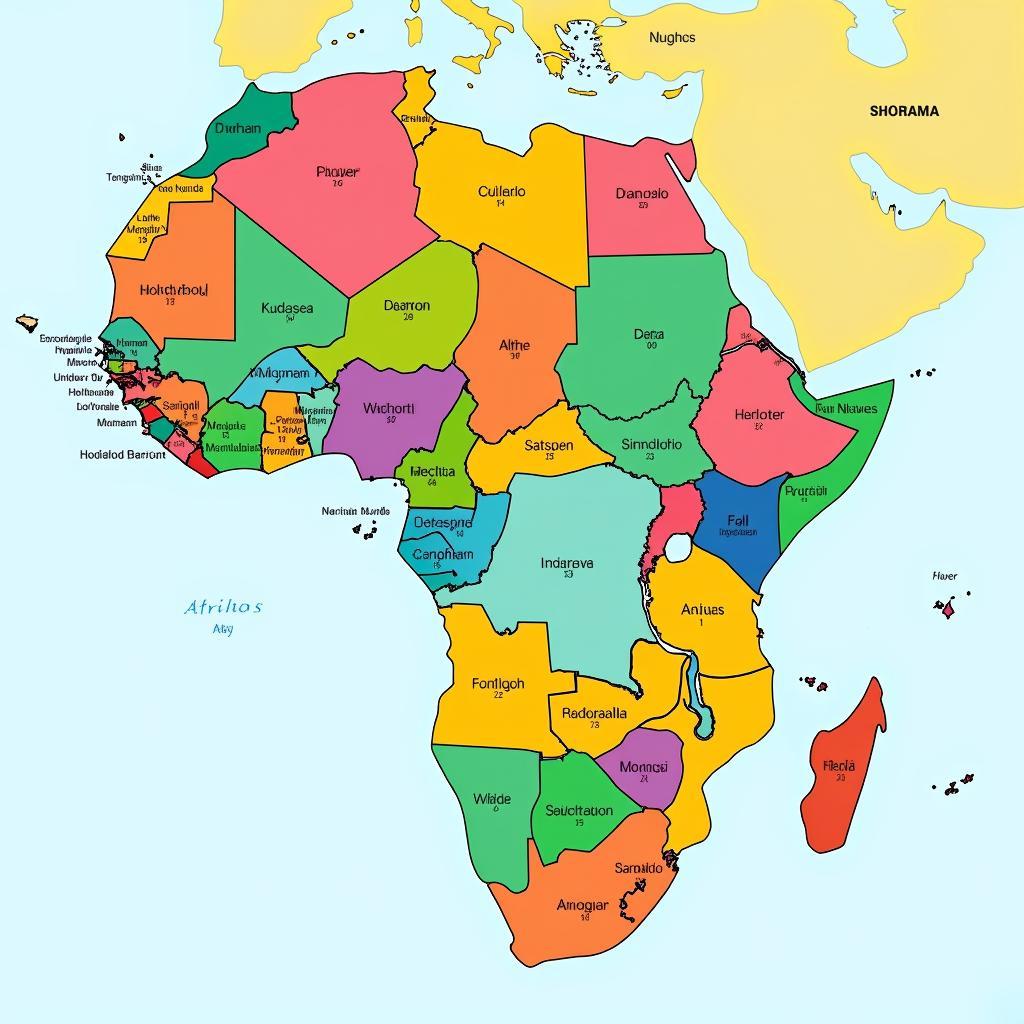
Understanding the diverse landscape of African countries and regions requires a good map. A detailed African Countries And Regions Map is essential for grasping the continent’s intricate geopolitical makeup. It allows you to visualize the 54 recognized sovereign nations, along with their respective borders, capitals, and major cities. Beyond simple political divisions, such a map can also reveal the diverse geographic regions that shape the continent, from the Sahara Desert to the savannas of East Africa. a list of african countries
Decoding the African Map: Political Divisions and Regional Groupings
A political map of Africa clearly delineates the boundaries of each country, showcasing the continent’s complex history of colonialism and independence. Examining the map, you’ll notice the variations in size and shape of these nations, reflecting the influence of historical agreements and treaties. This intricate network of borders also influences trade, migration, and political relationships between countries. Regional groupings, such as the East African Community (EAC) and the Economic Community of West African States (ECOWAS), are often superimposed on these political maps, highlighting the ongoing efforts towards economic and political integration within the continent. These organizations aim to foster cooperation and development by creating common markets, facilitating free movement of people, and promoting shared resources.
 African Countries Political Map
Furthermore, an African countries and regions map can provide valuable context for understanding the distribution of ethnic groups and linguistic diversity across the continent. By visualizing the proximity of different groups, we can gain insights into the rich tapestry of cultures and traditions that shape the African identity.
Beyond Borders: Exploring Africa’s Diverse Geographic Regions
While political divisions are important, understanding Africa requires going beyond national boundaries. The continent boasts a stunning array of geographical regions, each with its own unique characteristics and challenges. The Sahara Desert, the world’s largest hot desert, stretches across North Africa, influencing climate and shaping the lives of the people who inhabit its fringes. The vast savannas of East Africa support an incredible diversity of wildlife, playing a crucial role in the global ecosystem. east african countries The Congo Basin, home to the second-largest rainforest in the world, is a vital carbon sink and a biodiversity hotspot.
The diverse climates and ecosystems of Africa have shaped human settlement patterns and influenced cultural development. Understanding these regional variations is essential for addressing challenges related to resource management, conservation, and sustainable development.
How Can an African Countries and Regions Map Enhance Your Understanding?
An African countries and regions map can provide a valuable tool for education, research, and travel planning. Whether you’re a student, a researcher, or simply curious about the world, a good map can unlock a wealth of information. What specific insights can you gain from studying such a map?
- Visualizing Political Complexity: A political map reveals the intricate network of borders, highlighting the legacy of colonialism and the ongoing challenges of nation-building.
- Understanding Regional Integration: Maps often depict regional organizations, demonstrating the collaborative efforts towards economic and political unity.
- Exploring Geographical Diversity: A physical map reveals the varied landscapes, from deserts and savannas to rainforests and mountains, highlighting the continent’s rich biodiversity.
- Appreciating Cultural Nuances: Maps can provide context for understanding the distribution of ethnic groups and linguistic diversity, fostering appreciation for the cultural tapestry of Africa. african country near equator
- Planning Informed Travel: For travelers, a detailed map is essential for navigating the continent and discovering its hidden gems. african hottest country
Professor Abimbola Adebayo, a renowned geographer specializing in African studies, emphasizes the importance of understanding the continent’s regional nuances: “Africa is not a monolithic entity. It is a continent of incredible diversity, both politically and geographically. A good map is the first step towards appreciating this complexity.”
Conclusion
An African countries and regions map is an indispensable tool for anyone seeking to understand this fascinating continent. It provides a visual representation of the political divisions, regional groupings, and diverse geographical features that shape Africa’s identity. From the bustling cities to the remote villages, from the arid deserts to the lush rainforests, a detailed map allows you to explore the rich tapestry of African Life and appreciate its complexities. Understanding African countries and regions through a map is not just about knowing where places are; it’s about understanding the interconnectedness of geography, politics, and culture. african decolonisation map
FAQ
- How many countries are in Africa?
- There are 54 recognized sovereign nations in Africa.
- What is the largest country in Africa?
- Algeria is the largest country in Africa by land area.
- What is the smallest country in Africa?
- Seychelles is the smallest country in Africa by land area.
- What are the main regional groupings in Africa?
- Some major regional groupings include the African Union (AU), ECOWAS, SADC, and the EAC.
- Where can I find a detailed African countries and regions map?
- Detailed maps can be found online, in atlases, and from reputable map publishers.
When you need assistance, please contact Phone Number: +255768904061, Email: kaka.mag@gmail.com Or visit us at: Mbarali DC Mawindi, Kangaga, Tanzania. We have a 24/7 customer service team.


